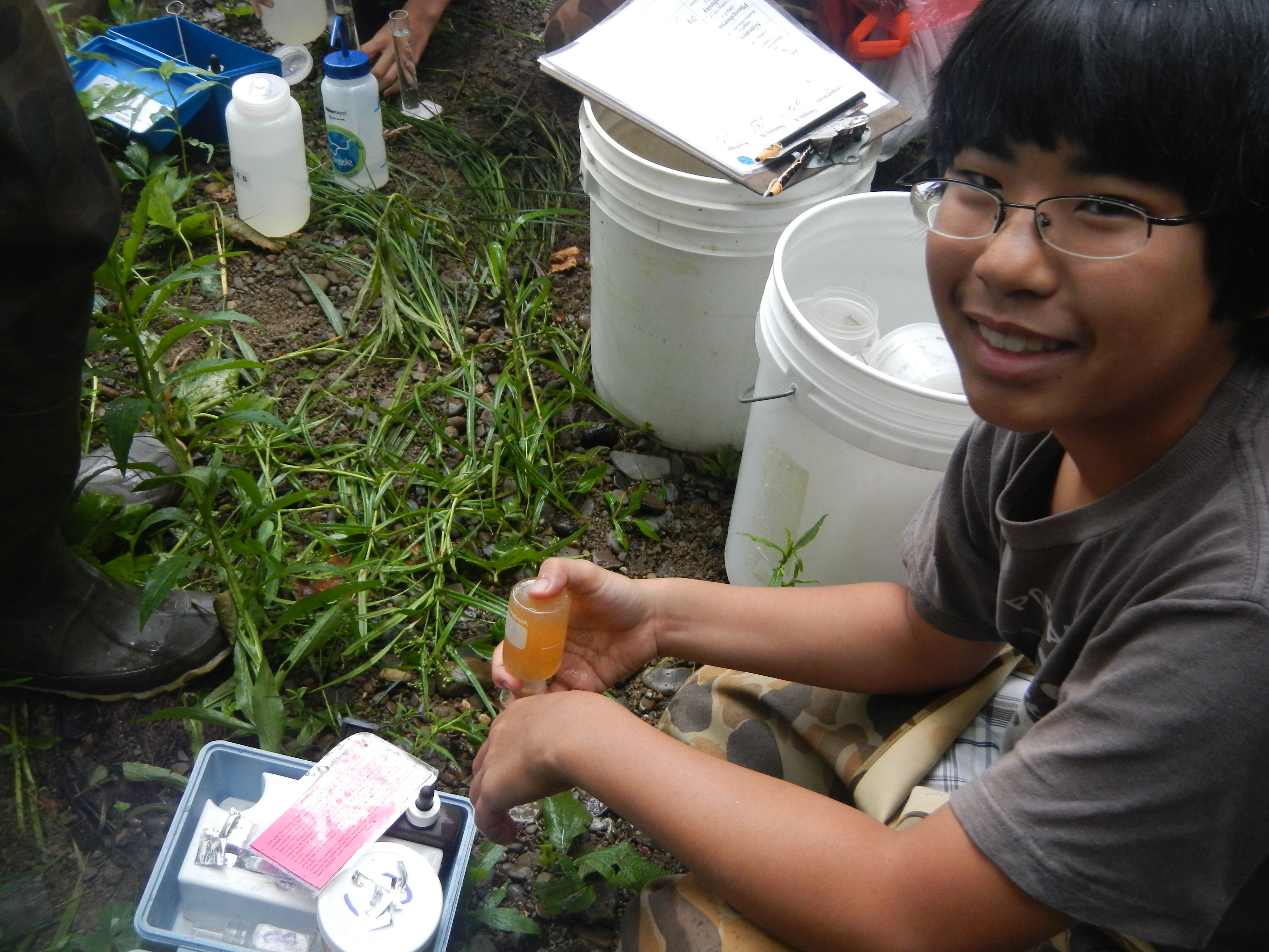
 Creek Connections has forged an effective partnership between Allegheny College and regional K-12 schools to turn waterways in Northwest Pennsylvania, the Pittsburgh area, and beyond into outdoor environmental laboratories. Emphasizing a hands-on, inquiry based investigation of local waterways, this project annually involves over 40 different secondary schools and the classes of 50 teachers. Click here for our brochure
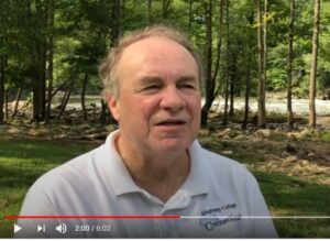
Video from our founder, Dr. James O. Palmer
about how Creek Connections came to be.
Project Goals:
|
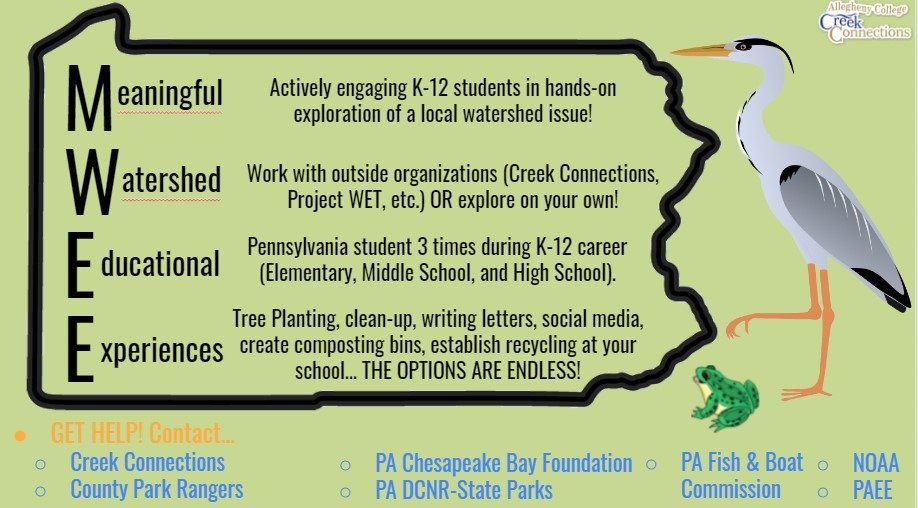
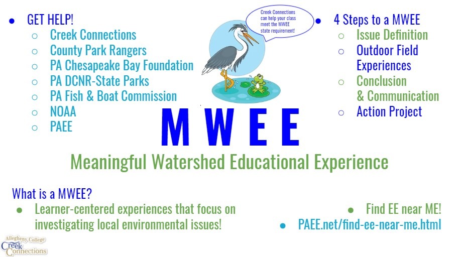
Contact Creek Connections to assist you in completing a Meaningful Watershed Educational Experience (MWEE) with your students!
Know a Pennsylvania business taking part in the EITC program?
Let them know that Creek Connections can accept donations.
Click here for more information.
 |
 |